
Field Photo Placement
PicsOnDWG01Place GPS-tagged field photos onto the right spot in an Autodesk Forma drawing, automatically
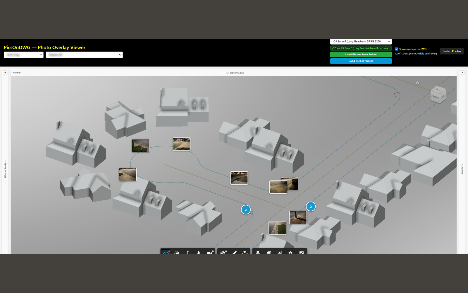
Overview
Extracts GPS coordinates from field photos, transforms them into the drawing coordinate system, and overlays them as positioned markers on Autodesk Forma DWG files. Helps tie site photography to plan locations.
What it does
- EXIF GPS extraction
- Coordinate transform (pyproj)
- Photo-to-DWG overlay
- Autodesk Forma integration
Built with
PythonFlaskpyprojPillow