
Autodesk Forma
4 toolsFlask services built on the Autodesk Platform Services REST APIs. They browse hubs and projects, check designs against standards, and get field data into the right drawing.
Why I (& you) AI
Say the domain letters out loud: Y-I-N-U-AI. Why I, and you, AI. That is the conversation I keep having with colleagues and customers, so I built this site to address the topic, starting with what it produced.
In March 2006 I was working for an Autodesk reseller, demonstrating Civil 3D to firms deciding whether to leave Land Desktop. Here is what I wrote on my blog at the time:
We are on the precipice of a new era for many engineering companies. The decisions made today, will change how we have traditionally done things. There are methods and mechanisms that need to be re-evaluated and redefined.
So I got to work. What follows is a sample of it: a few highlighted tools below, and more of the catalog on the Projects page.
Ten projects that show the range, at least one from every platform I build on.
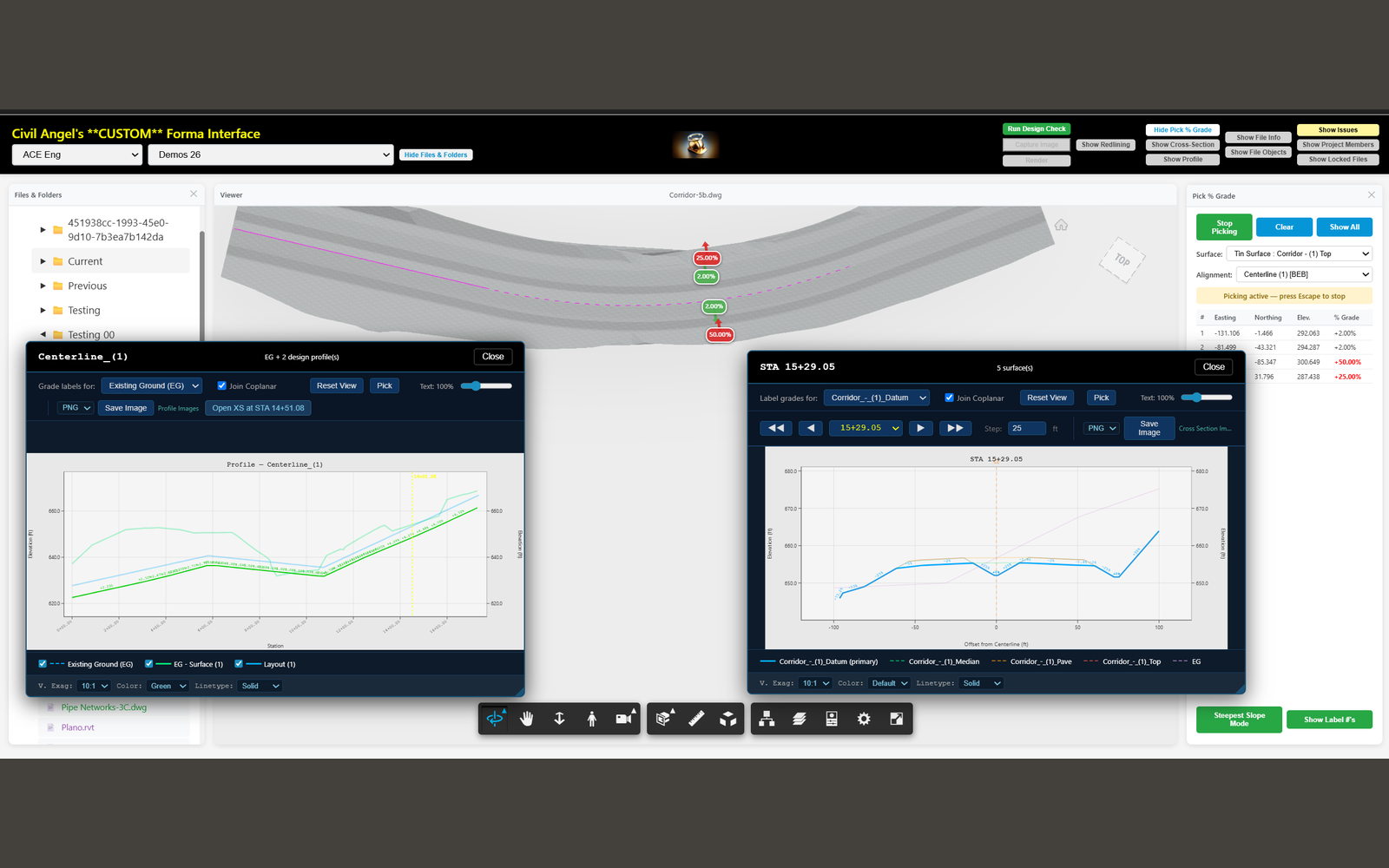
Browse Autodesk Forma, check designs against standards, and analyze terrain, all in the browser
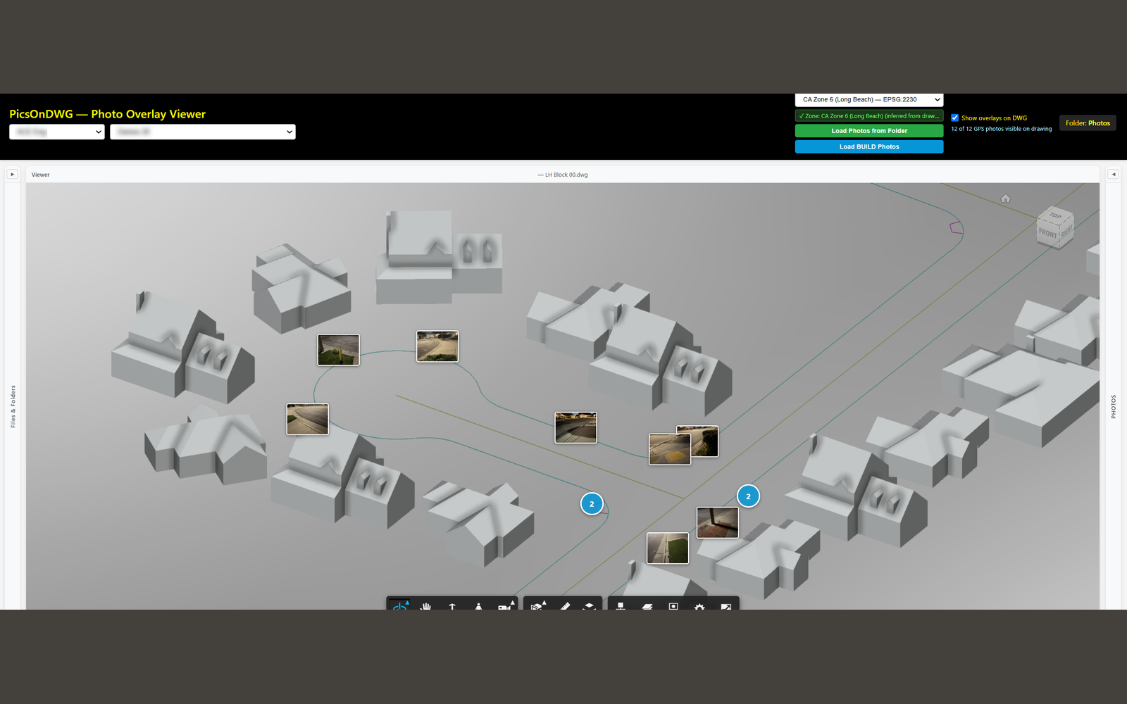
Place GPS-tagged field photos onto the right spot in an Autodesk Forma drawing, automatically
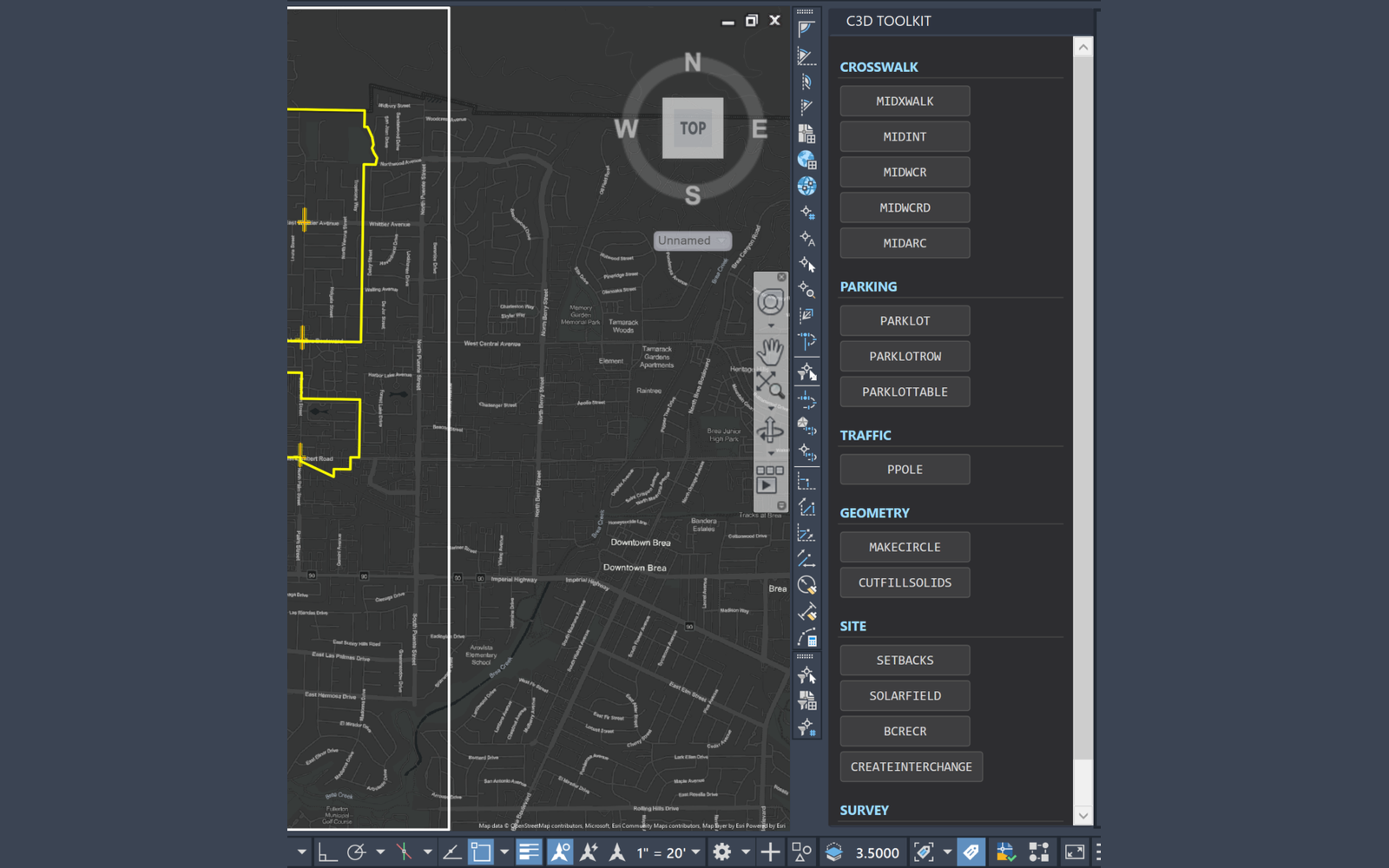
One dockable Civil 3D palette that fronts the entire toolkit
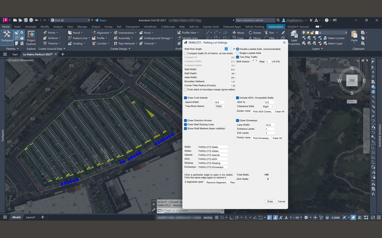
Generate a parking lot layout in Civil 3D with a live preview as you adjust the inputs
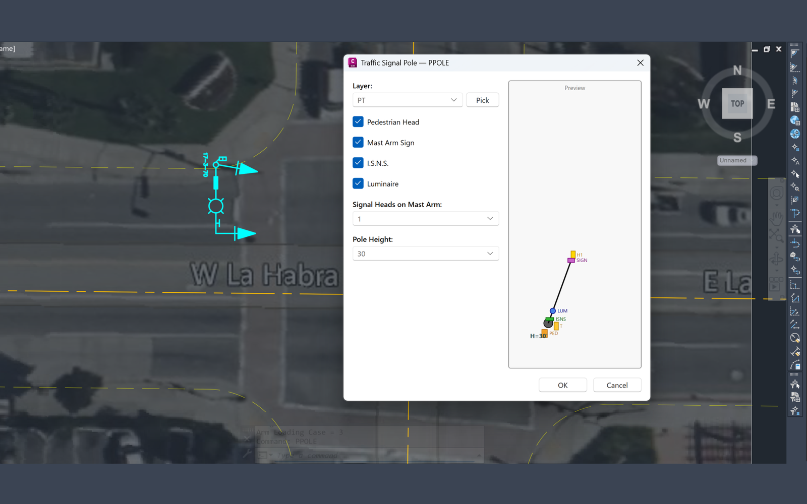
Place full traffic signal pole assemblies at intersections in a single command
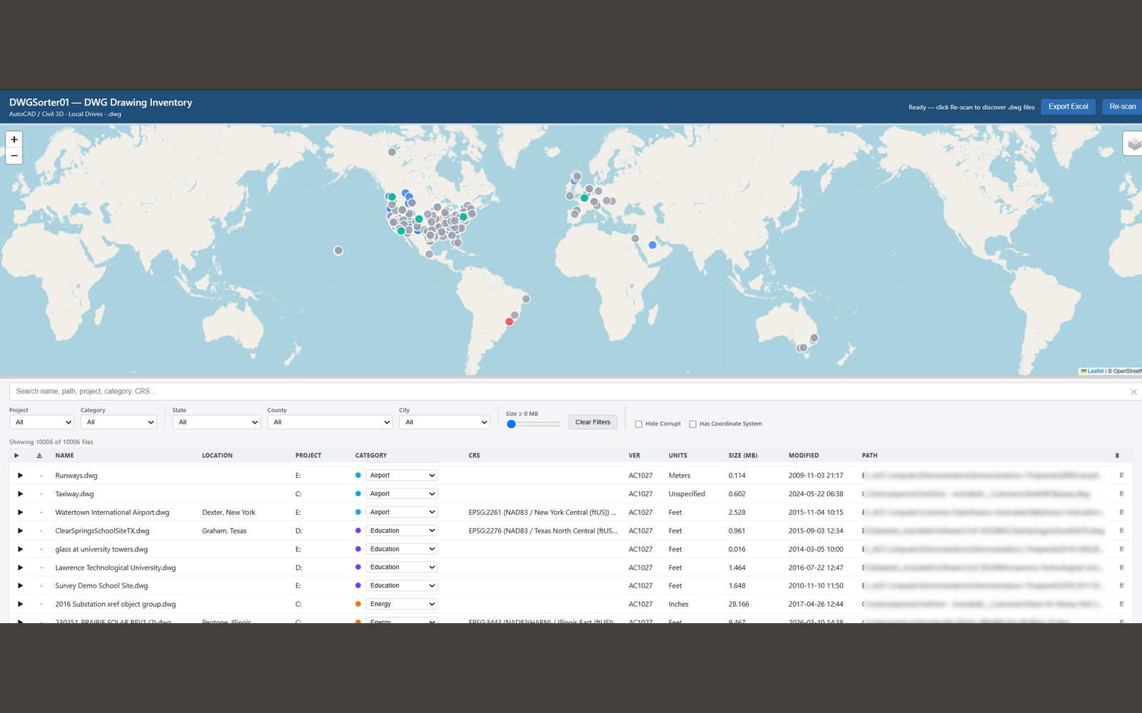
Inventory every drawing across a project and explore it as a map and a filterable table
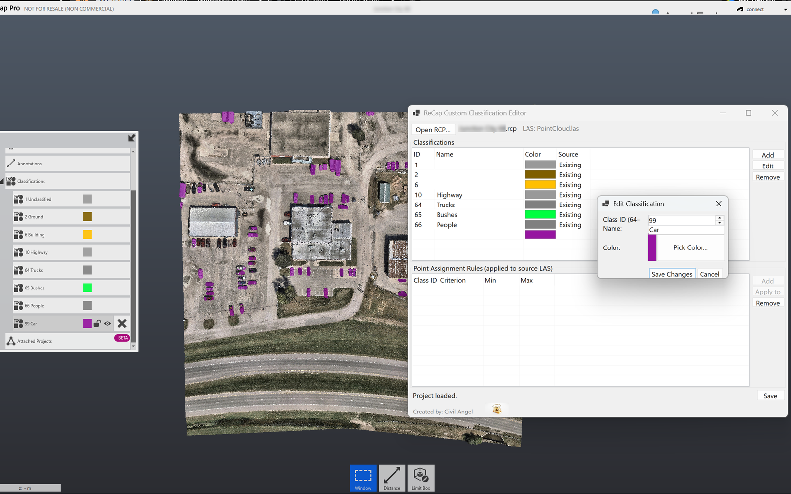
Edit ReCap point cloud classification schemes and apply them across LAS files
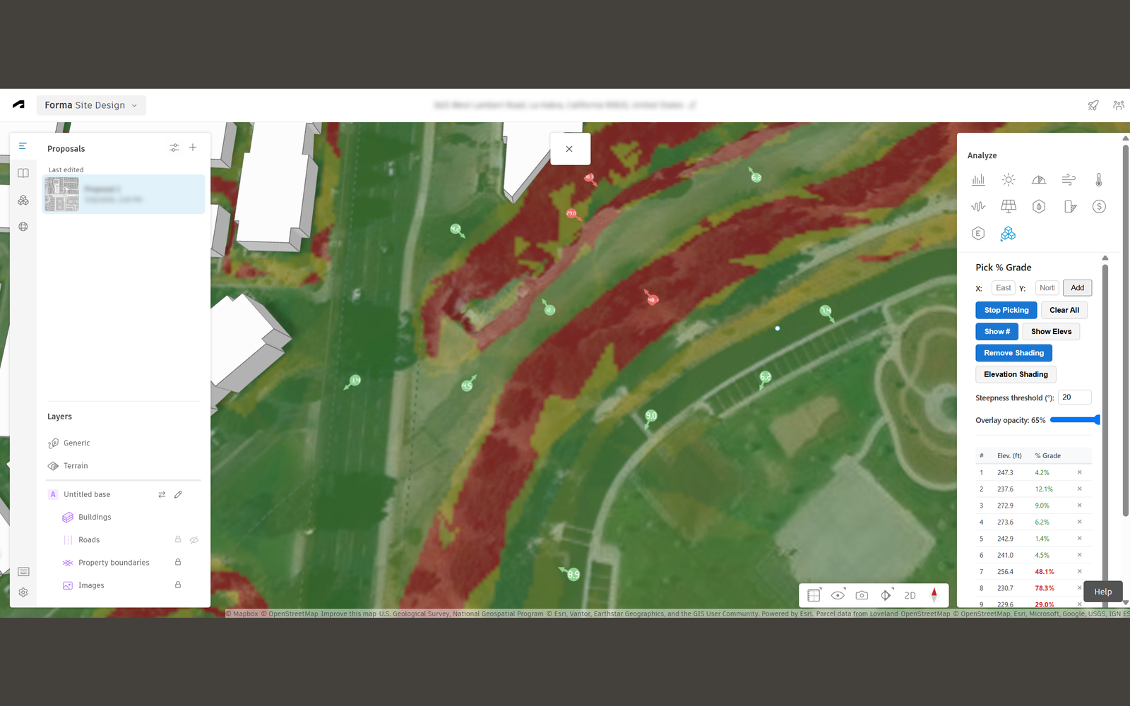
Slope analysis on Autodesk Forma terrain, as an embedded extension in the Forma UI
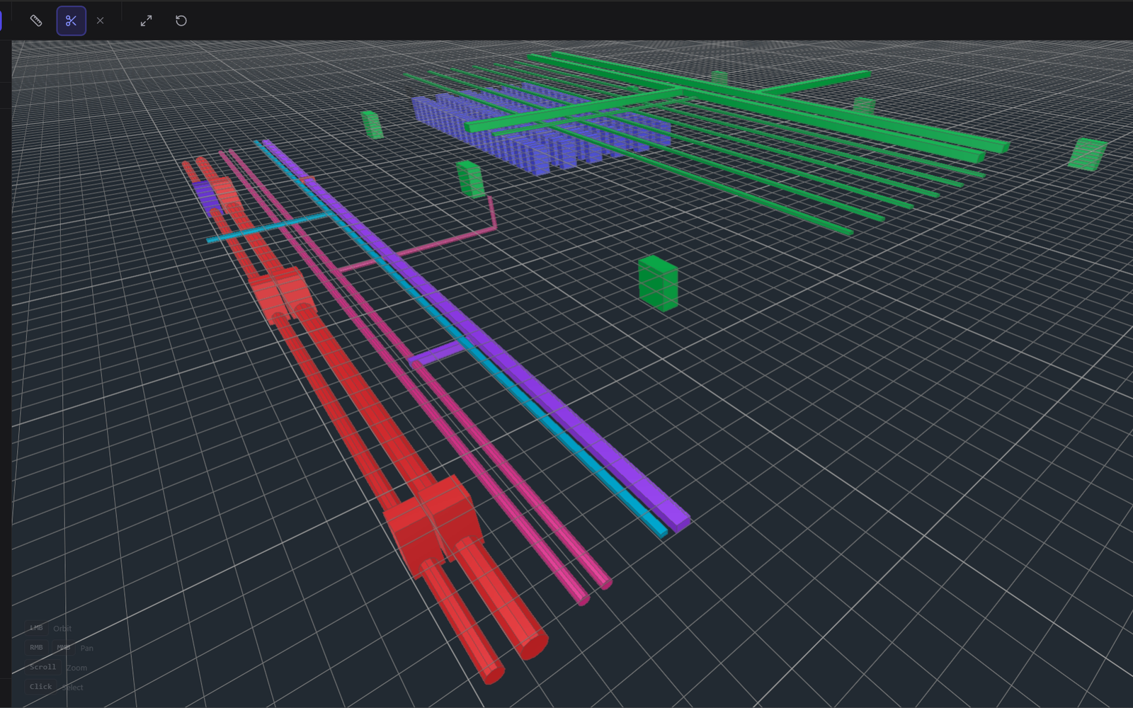
Open and inspect IFC and BIM models in the browser, with no install and no license
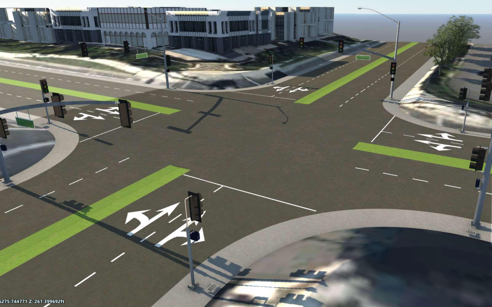
Script InfraWorks to place intersection equipment at computed curb-return positions
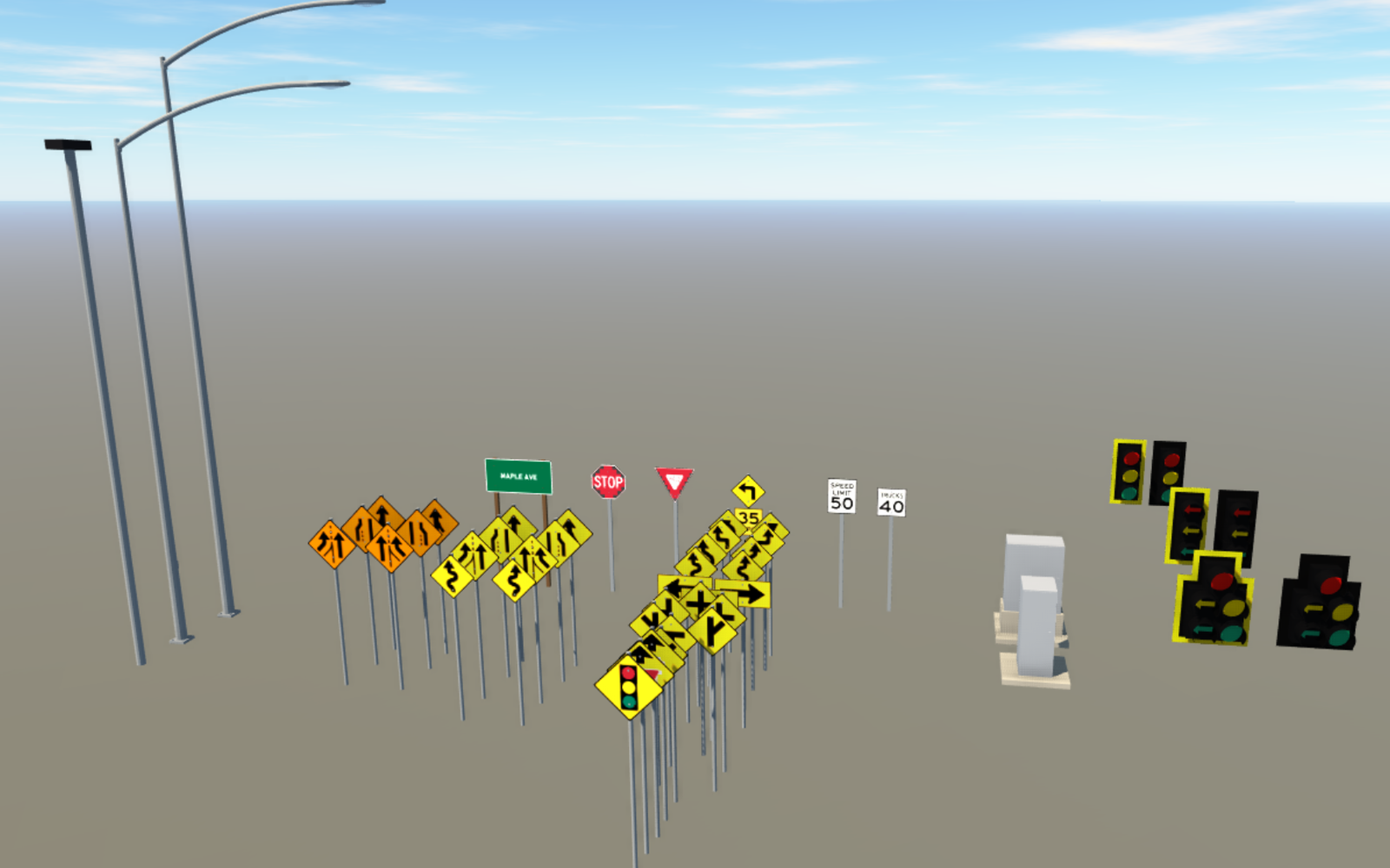
Generate MUTCD-accurate signs, poles, and signal equipment as ready-to-use InfraWorks 3D assets
Every tool targets a specific Autodesk platform and a specific piece of repetitive work.
Flask services built on the Autodesk Platform Services REST APIs. They browse hubs and projects, check designs against standards, and get field data into the right drawing.
C#/.NET plugins loaded into Civil 3D. Layout generation, batch striping, cut/fill solids, reference management, and a palette that fronts all of it.
Point cloud inventory and classification tooling. Find every scan across an organization, then edit the schemes that give those scans meaning.
Embedded view extensions that run inside the Autodesk Forma Design UI. The terrain analysis happens client-side against the Forma geometry API.
Open BIM tooling in the browser. Load an IFC model, walk the element tree, and read properties, with no desktop install.
Action Scripts for InfraWorks. They automate equipment placement and model inventory against an API that is largely undocumented.
Supporting tools. A personal AI desktop assistant, and an AI-assisted research utility for profiling civil engineering firms.
I am happy to walk through how any of these work, or what it would take to adapt one to your workflow. Corrections and better ideas are welcome. That is how most of these got better.